 Catàleg local de Mallorca
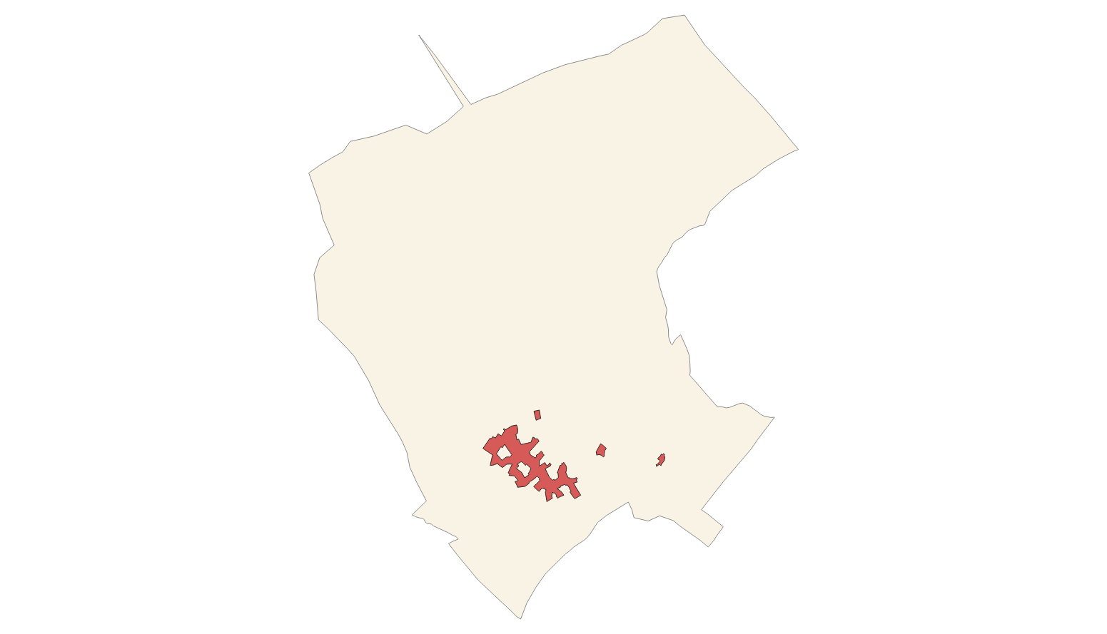
Town planning
Type of resources
Available actions
INSPIRE themes
Keywords
Contact for the resource
Provided by
Years
Service types
-
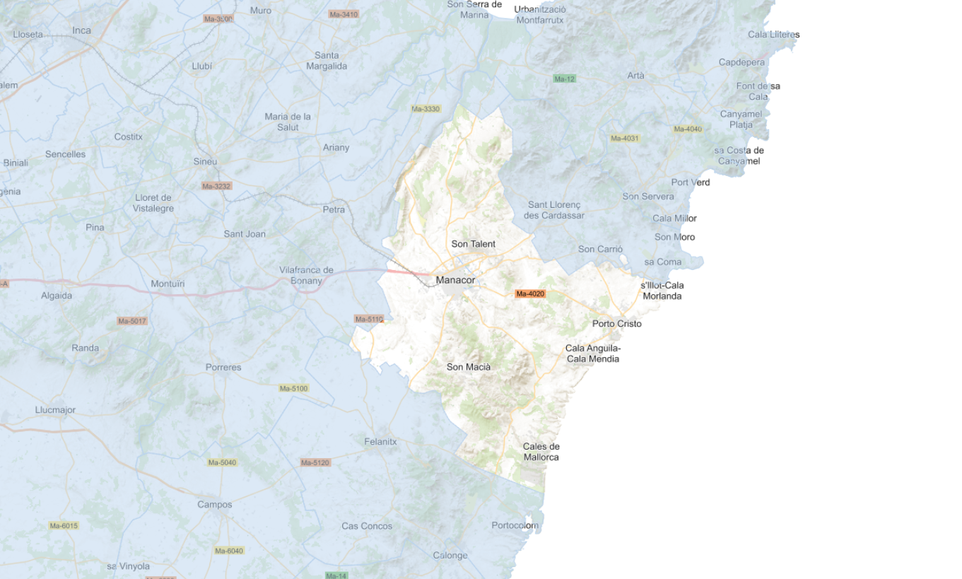
Web Map Service that allows access to the cartography of the General Urban Planning Plan (PGOU) of the municipality of Manacor for the year 2022. The service contains all the layers that make up the PGOU: urban and rural classification, classification, sectors, APT, wetlands, cataloged elements, coastal protection zones, among others. The associated symbology of the capes is defined by the Manacor City Council following the existing symbology in the official pdf plans that can be consulted at https://plageneral.manacor.org. Access to this service is free as long as Manacor City Council appears as the owner of the data and Consell de Mallorca as the owner of the service.
-
Web Map Service that allows access to the cartography of the zoning plans of the Calvià Adaptation Plan of 1976. The service contains all the layers that make up the Plan: Cas Català-Illetes, Bendinat-Portals, Palmanova-Voramar-Son Caliu, Son Maties-Torrenova-Magaluf, Santa Ponça I, Santa Ponça II, Rotes Velles, Costa de la Calma- It is Catellot, Peguera, Portals Vells, Badia de Palma. Access to this service is free whenever the Town Hall of Calvià appears as owner of the data and Consell de Mallorca as the owner of the service.
-

Web Map Service that allows access to the cartography of the Revised Text of 2006 and the Initial Approval of the PGOU 2022 of the municipality of Sa Pobla. The service contains all the layers that make up the Consolidated Text: land classification, qualifications, rustic land categories, action units, general systems; and the layers of the Initial Approval of the PGOU 2022: Territorial Planning, heritage, management, conditions of the coastal law, hydraulic conditions and municipal conditions. The symbology associated with the capes is defined by the Sa Pobla Town Hall following the existing symbology in the sealed pdf plans, which are the official ones and can be consulted at http://www.calvia.com Access to this service is always free that the Sa Pobla Town Hall appear as the owner of the data and the Consell de Mallorca as the owner of the service.
-
Web map service that allows access to the cartography of the water networks of the municipality of Marratxí in the year 2023. The service contains all the layers that make up the water and sewer network: pipes, hydrants, fountains, wells, collectors ... Access to this service is free as long as Marratxí Town Hall appears as the owner of the data and Consell de Mallorca as the owner of the service.
-
Web Service of Maps that allows access to the cartography of the Heritage Catalog of the municipality of Esporles of the year 2006. The service contains all the layers that make up the Subsidiary Rules: urban buildins, rustic buildings, protection zone, archaeological sites and roads. The associated symbology of the capes is defined by the Town Hall of Esporles following the symbology existing in the sealed pdf plans that are official and that can be consulted at http://www.ajesporles.net. Access to this service is free whenever the Town Hall of Esporles appears as owner of the data and Consell de Mallorca as the owner of the service.
-
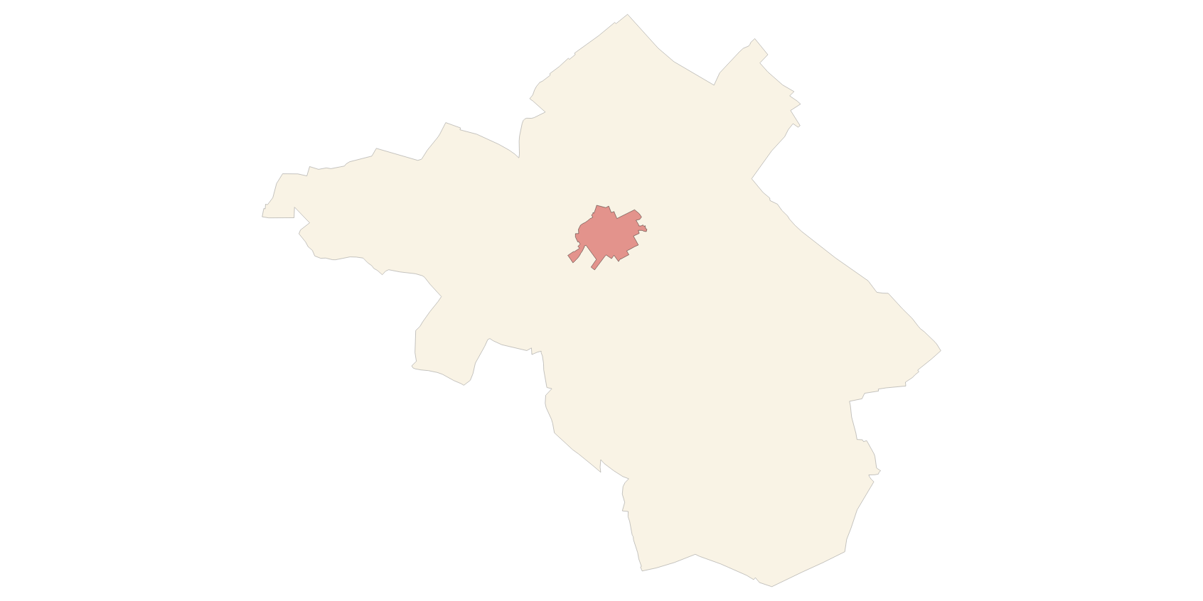
Web Map Service that allows to visualize the dataset of the administrative units of Bunyola. The service contains a single layer of lines with the limits of Palmanyola (Local Entity Smaller of Bunyola) called Administrative Limit, and another layer of polygons with the extension of the same called Administrative Unit. The symbolism associated with layers is defined by the INSPIRE specifications. Scale: 1: 5,000. Coordinate system: ETRS89. Access to this service is free provided that the City of Bunyola appears as the owner of the data and Consell de Mallorca as the owner of the service.
-
Web Service of Maps that allows access to the cartography of the Heritage Catalog of the municipality of Alaró of the year 2018. The service contains all the layers that make up the Subsidiary Rules: urban buildins, rustic buildings, protection zone, archaeological sites. The associated symbology of the capes is defined by the Town Hall of Alaró following the symbology existing in the sealed pdf plans that are official and that can be consulted at http://www.ajalaro.net. Access to this service is free whenever the Town Hall of Alaró appears as owner of the data and Consell de Mallorca as the owner of the service.
-
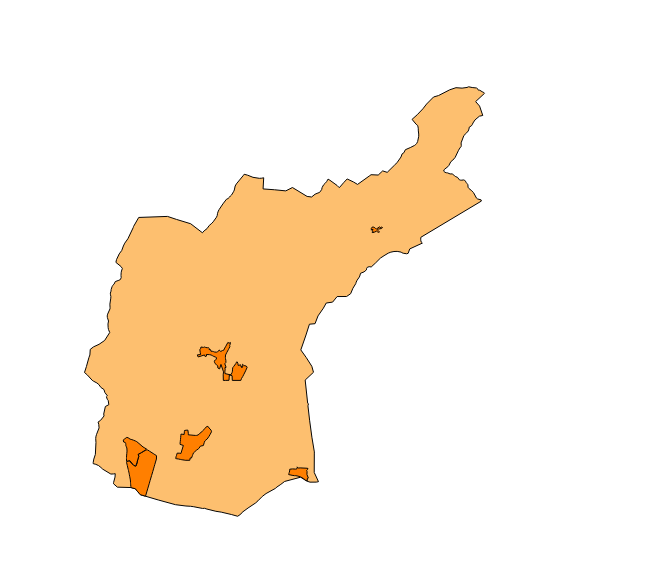
Web Service of Maps that allows access to the cartography of the Subsidiary Rules of the rustic land of the municipality of Sant Joan of the year 2016. The service contains all the layers that make up the Revision of the Subsidiary Rules: APT Roads, limit of urban land, new alignments, buildable depth, units of action, urban and rustic qualification. The associated symbology of the capes is defined by the Town Hall of Sant Joan following the symbology existing in the sealed pdf plans that are official. Access to this service is free whenever the Town Hall of Sant Joan appears as owner of the data and Consell de Mallorca as the owner of the service.
-
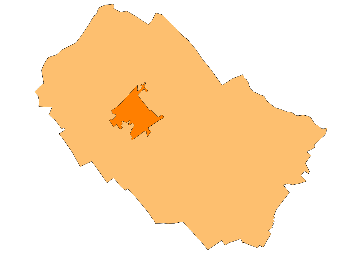
Web Map Service that allows the visualization of the dataset of the Historical Heritage Catalog of Binissalem definitively approved in 2008. The service contains all the layers that make up the cartography of the Historical Heritage Catalog: Protected Urban Elements, Rustic Protected Elements and Archaeological Sites. These are buildings or elements that are protected by cultural or historical causes. The mapping of urban elements is at 1: 1,000 scale, while the cartography of rustic elements is at 1: 5,000 scale. The coordinate system: ETRS89 (EPSG: 25831).
-
Web Service of Maps that allows access to the cartography of the Subsidiary Rules of the rustic land of the municipality of Campanet of the year 2003. The service contains all the layers that make up the Subsidiary Rules: ARIP, ANEI, landscape farming, livestock farming, oak grove, forestry, traditional construcions. The associated symbology of the capes is defined by the Town Hall of Campanet following the symbology existing in the pdf plans that are official and that can be consulted at http://www.ajcampanet.net. Access to this service is free whenever the Town Hall of Campanet appears as owner of the data and Consell de Mallorca as the owner of the service.